
In a nutshell...
Funding: £90,000*
Length: ~2 years
Location: Kent Downs National Landscape
Aim: To engage community volunteers to map and restore ecologically- and culturally-significant pond habitat throughout the landscape.
Opportunities: Corporate visit days, corporate volunteering
*subject to additional management fees.
The opportunity
Here’s a chance to support a restoration project steeped in history and heritage, with people at its core.
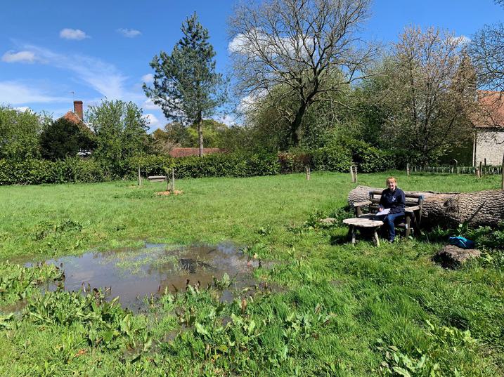
The Heritage Ponds project aims to restore dew and sole ponds across the Kent Downs National Landscape, recognising their significance to its character, heritage, and biodiversity. Important for nature and for people: ponds were once a critical water source for our livestock and reminiscent of old farming practices.
Both natural and man-made ponds remain critical freshwater habitat, supporting biodiversity across the landscape; but with mechanised agriculture and modern feeding systems, we have lost around 75% of ponds in the last century.
Unfortunately, this will have knock-on effects to important species that we can’t afford to lose. And as the climate warms and water becomes more scarce, ponds will be more important than ever.
The project
Around 55 volunteers were recruited in 2024 during the first phase of the project to use the Kent Lidar Portal and map pre-1900 ponds across the Kent Downs. Some 1500+ existing and ghost ponds have now been recorded and will form the basis of restoration work of up to 20 ponds.
As the project is evolving, it has become more than just an opportunity to bring back water into the Kent Downs landscape for wildlife. There's the cultural heritage to consider, as well as old farming techniques and industries which these ponds may have served. Some were certainly created so livestock can drink, but others were originally quarries, cart-washes, and medieval fishponds.
The second phase of the project will explore the archaeological value of these water sources. By testing the silt, archaeologists can look for old seedbanks and pollen samples to put together a picture of what the environment was like around these ponds hundreds of years ago. Radiocarbon dating could even tell the approximate age of the pond.
Key outputs
- A mapping portal including the overlay of 1st and 2nd edition OS, 1m LiDAR and modern aerial views of the heritage ponds and pond sites throughout Kent Downs National Landscape.
- A key dataset that feeds into Kent County Council's Heritage Environment Record database and can be used for varied conservation and restoration work.
- 20 ponds across the Kent Downs restored throughout the duration of the project for wildlife.
- 55 volunteers trained in the LiDAR mapping tool and engaged with their local landscape and heritage features.
- The second phase will start with an archaeological slant to discover the history and use of the ponds.
- When the ponds have been restored there will be opportunity for community engagement and events.
- One critical blueprint for recording and restoring culturally and ecologically signficiant habitat for a protected area.
Interested in this project?
Reach out to the team today.


